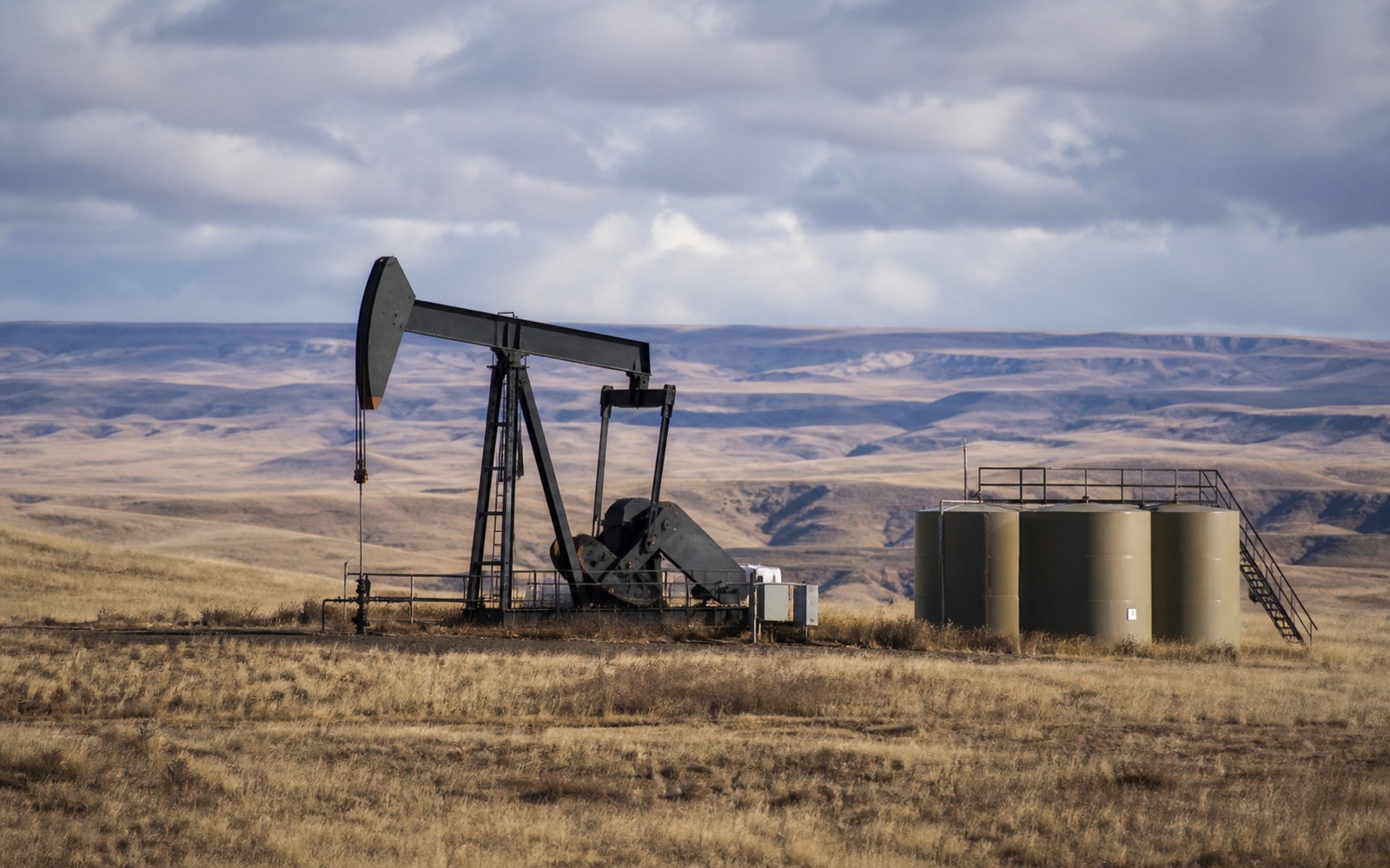
Powder River Basin Mineral Rights
A few years back, this basin was pitched hard as the next major oil discovery in America. The results came in more modest than the marketing did, and mineral owners deserve the honest version.
The Powder River Basin covers northeastern Wyoming and a small piece of southern Montana, with Campbell, Converse, and Johnson counties in Wyoming forming the areas of most recent horizontal drilling interest. The basin has a long legacy of coalbed methane production stretching back decades, layered beneath newer horizontal targets in the Niobrara, Mowry, Turner, and Frontier formations that drew significant industry attention starting around 2016.
The coalbed methane legacy underneath everything
Long before the recent horizontal oil interest, the Powder River was one of the country's largest coalbed methane producing regions, built on shallow, low-cost wells targeting thick coal seams. That CBM boom peaked and declined over the 2000s and 2010s as gas prices weakened and the best coal acreage was drilled out. If your family's minerals have a long production history here, there's a good chance a meaningful part of it traces back to that earlier CBM development rather than the newer horizontal oil wells.
What the 'next Permian' pitch actually produced
Starting around 2016, several operators drilled ambitious horizontal test wells in Converse County targeting stacked Niobrara, Turner, and other benches, and some industry commentary drew comparisons to the Permian's multi-bench stacking. Results were genuinely mixed — some wells performed well, others underwhelmed relative to the initial excitement, and the basin never saw the sustained, broad-based development pace that comparison implied. Devon and Chesapeake's successor Expand Energy have continued more selective drilling in the strongest parts of Converse County, but at a fraction of the pace early projections suggested.
This matters for mineral owners because it means development near your tract, if any, is likely to be more targeted and slower-paced than a hot shale play elsewhere, and buyer offers should reflect that more measured reality rather than lingering hype from years-old headlines.
Where activity is still real versus where it's gone quiet
Core Converse County acreage in the strongest benches still sees selective drilling and remains the part of the basin with the most active buyer interest. Campbell County, historically the heart of the CBM boom, is now mostly legacy production with limited new horizontal activity. Johnson County and the basin's outer extent see even less current development. Knowing specifically where your tract sits relative to this uneven activity matters more here than in a more uniformly active basin.
Evaluating an offer against realistic expectations
Given the gap between early hype and actual results, it's worth being skeptical of any offer that seems to be pricing your minerals as though the basin were still in its 2016-era excitement phase, and equally worth pushing back on a lowball offer that ignores the genuine, if selective, drilling still happening in Converse County's core. A broker who can point to actual recent permits and completions near your tract gives you a much more grounded basis for negotiation than either extreme.
Wyoming's split-estate and checkerboard land pattern
Much of the Powder River Basin sits within a historical checkerboard land pattern left over from nineteenth-century railroad land grants, mixing private, state, and federal ownership in an alternating section-by-section grid across parts of the basin. Combined with common split-estate situations where surface and mineral ownership were severed generations ago, this creates a genuinely more complex permitting and access landscape than a basin with more uniform private ownership. If you're trying to understand why development has moved unevenly across seemingly similar-looking acreage nearby, this patchwork land history is often a bigger factor than the geology itself. Confirming exactly what your family's deed conveys, and whether the surface above it is under the same or different ownership, is a worthwhile step before assuming any offer accurately reflects your actual position. Wyoming's Oil and Gas Conservation Commission and the Bureau of Land Management both maintain records that can help sort out which pattern applies to your specific section.
Questions Owners Ask Before Authorizing a Sale Process
These answers keep every bidder working from the same asset definition, evidence, timing, access, and requested terms.
Did the Powder River Basin turn out to be the next Permian?
No. Early horizontal test results generated significant industry excitement starting around 2016, but development has been more selective and slower-paced than that comparison suggested.
Is coalbed methane still a factor in Powder River Basin mineral value?
For many long-held interests, yes — a significant share of historical production traces back to the earlier CBM boom rather than newer horizontal oil wells, and much of that production is now in long-term decline.
Which counties still see active horizontal drilling?
Converse County's strongest benches remain the most actively drilled part of the basin; Campbell and Johnson counties see comparatively little new horizontal activity today.
How do I know if an offer is pricing my minerals fairly given the basin's mixed track record?
Ask for the offer to reference actual recent permits or completions near your specific tract rather than basin-wide reputation, whether that reputation is optimistic or overly cautious.
Carry the same property schedule, evidence room, bidder rules, deadline, clarification record, and conveyance scope into these related guides.
Want to organize a comparable, documented mineral-sale process?
Send the county and state, owner name, deed reference, operator or payor, recent statement, lease, division order, probate or trust record, and any written offer already received.